Winter Operations
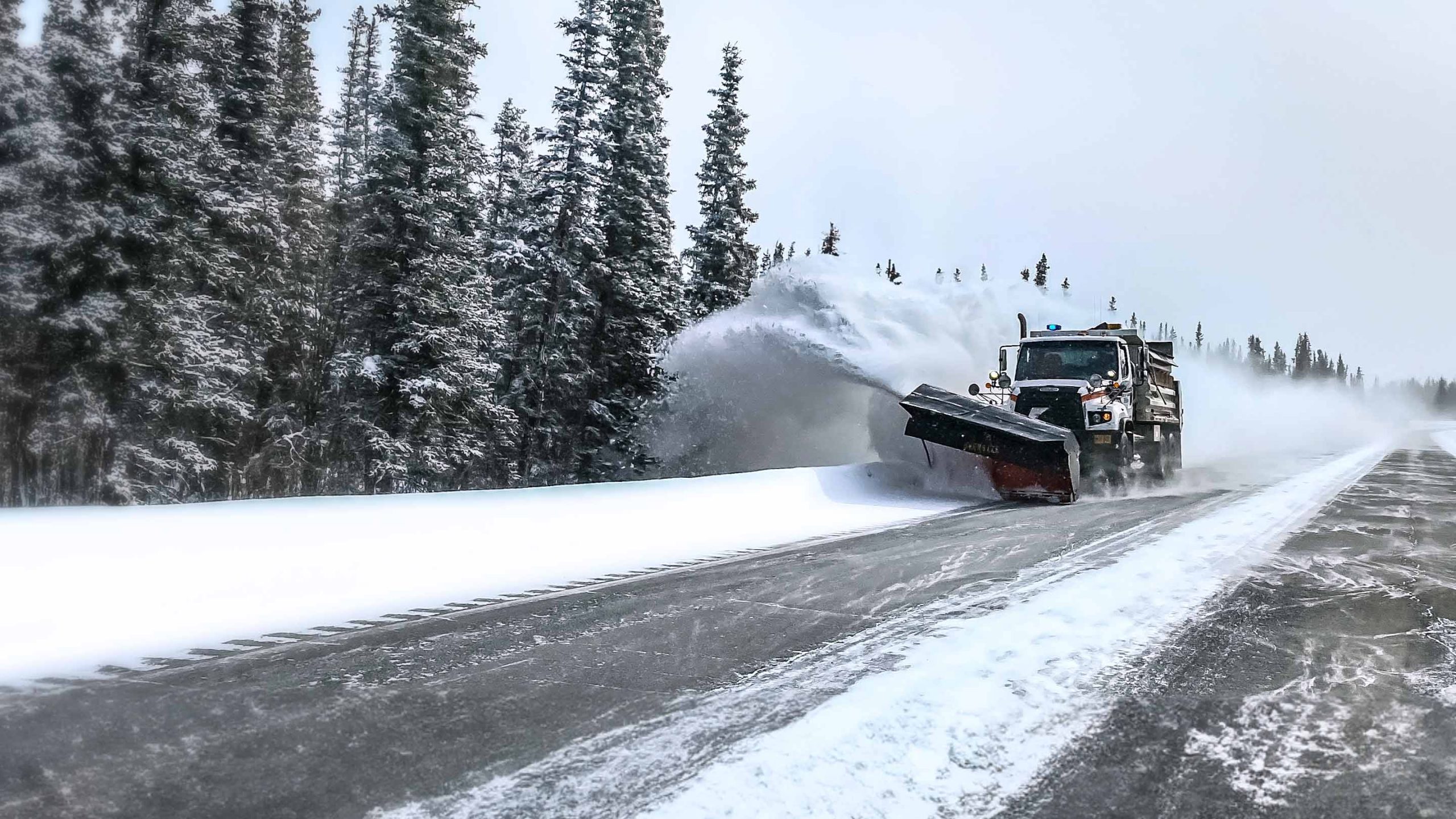
Winter operations require fast decisions, reliable equipment, and clear proof that roads, parking lots, and service areas were properly maintained. GPS Tracking America provides Geotab-integrated solutions that help public works departments, municipalities, snow removal contractors, and winter maintenance fleets monitor vehicles, equipment, routes, material usage, driver activity, and service completion from one connected platform. With Geotab devices, MyGeotab software, and Public Works tools, winter operations teams can improve visibility, reduce manual reporting, manage costs, and respond more effectively during severe weather events.
Real-Time Visibility for Snow Plows and Salt Spreaders
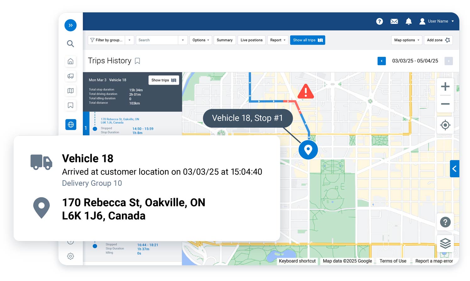
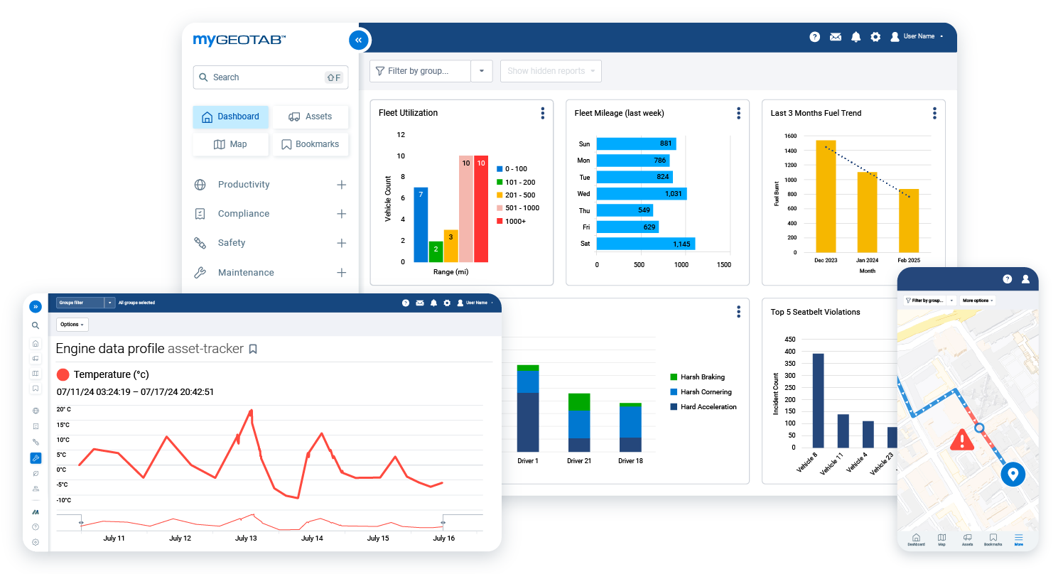
Winter fleet managers need to know where every vehicle is, what work is being performed, and which areas still need attention. Geotab solutions help teams monitor snow plows, salt spreaders, service trucks, and support vehicles in near real time through MyGeotab. This makes it easier to dispatch the closest available vehicle, confirm route progress, review trip history, and make faster decisions when road conditions change.
Smarter Material Management for Salt, Sand, Brine, and Anti-Ice
Material usage is one of the biggest cost and compliance concerns in winter operations. Geotab winter operations solutions can help fleets capture data from compatible spreader controllers and sensors, giving managers better visibility into when and where materials are being applied. With material management reporting, teams can review salt, pre-wet, anti-ice, spread time, and plow distance data to support better budgeting, reduce waste, and maintain safer service standards.
GPS-Verified Proof of Service for Roads and Service Areas
When residents, customers, or agencies ask whether an area was serviced, winter operations teams need accurate records. Geotab solutions can help provide time-stamped, GPS-verified data showing vehicle activity, route coverage, plow blade activity, and material spreading. This creates a stronger record of service completion and helps organizations respond to complaints, review storm response performance, and support accountability after winter weather events.
Public Works Tools Built for Winter Maintenance
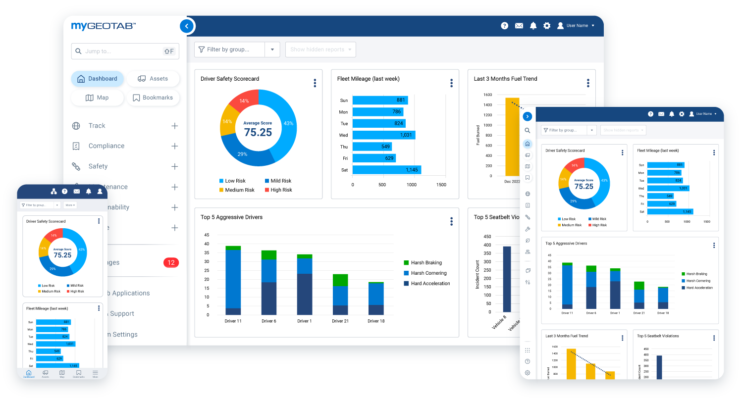
Geotab Public Works is designed for government and municipal fleets that manage vehicles such as snow plows, salt spreaders, sweepers, and other service vehicles. For winter operations, this solution can help connect vehicle data, specialized equipment data, routes, reports, and service activity into one system. Instead of relying only on paper logs or manual updates, managers can use digital reports to understand fleet performance, route completion, material use, and operational efficiency.
Better Route Planning During Winter Storms
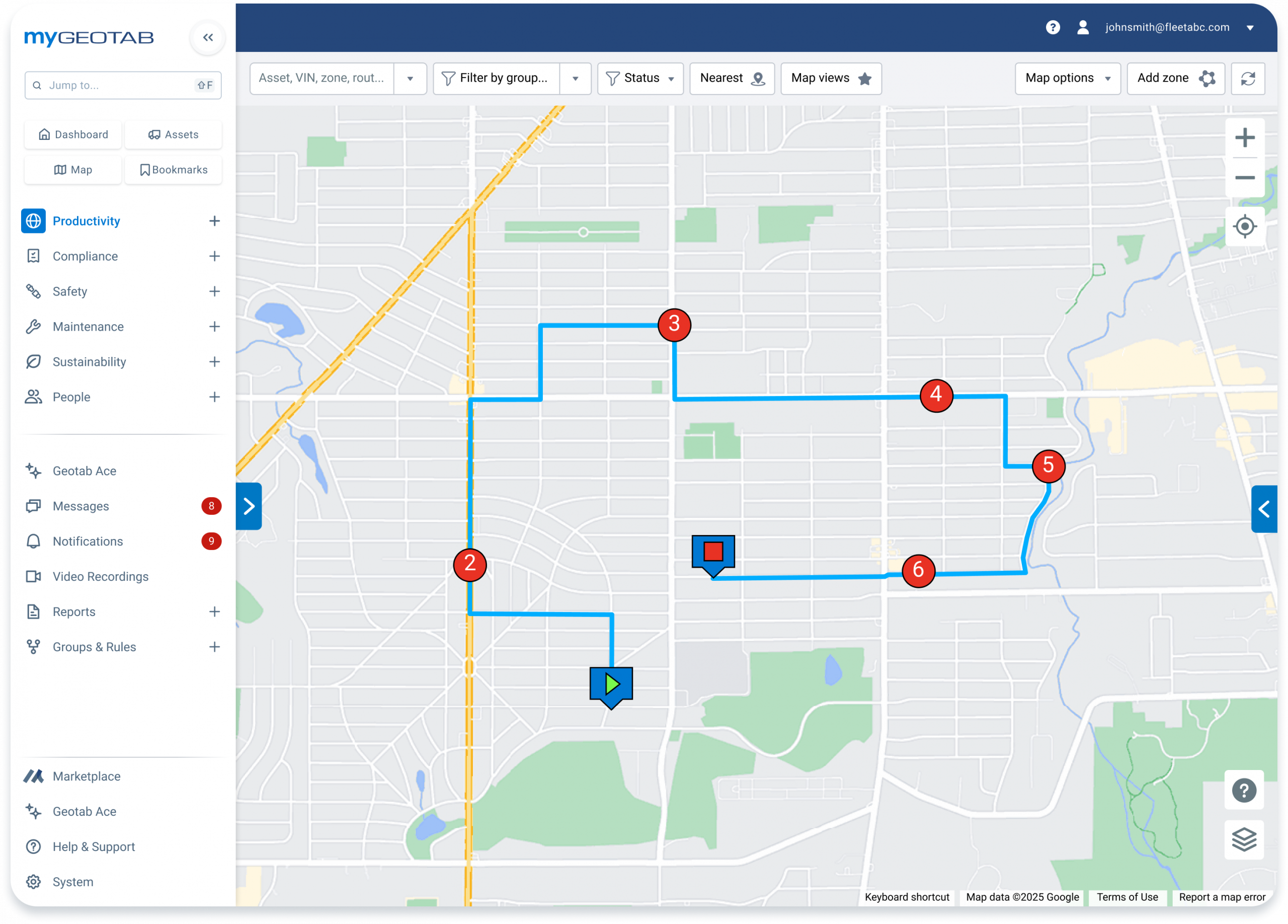
Winter routes must be completed efficiently, especially when crews are working under time pressure. Geotab routing and dispatching tools can help fleet managers plan routes, review stops and waypoints, and adjust routes when priorities change. By combining route visibility with vehicle location and service activity data, winter operations teams can reduce unnecessary mileage, improve response times, and keep service coverage more organized.
Maintenance Visibility for Critical Winter Equipment
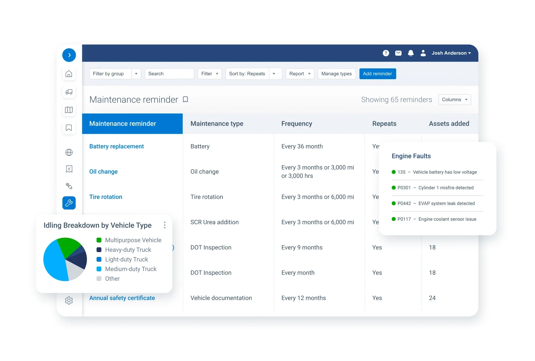
A snow plow or salt truck that goes down during a storm can disrupt the entire operation. Geotab fleet maintenance tools help managers monitor engine data, diagnostic faults, maintenance schedules, reminders, and work order activity. This supports a more proactive approach to maintenance, helping teams identify issues earlier, reduce unexpected downtime, and keep winter vehicles ready when conditions are at their worst.
Driver Safety and Accountability in Harsh Conditions
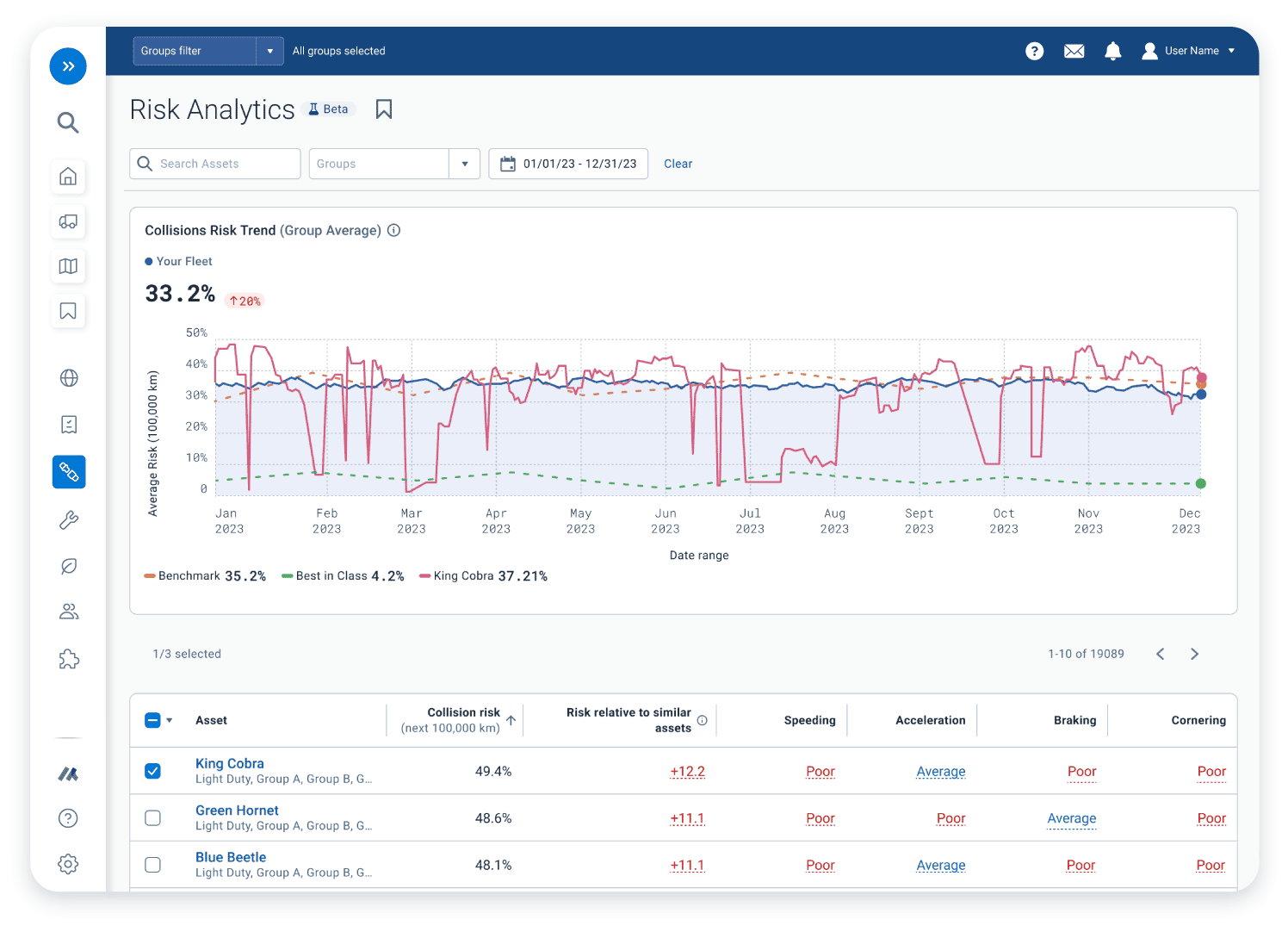
Winter driving increases risk for drivers, vehicles, and the public. Geotab solutions can help fleets monitor driver behavior, speeding, harsh braking, harsh acceleration, collision events, and safety trends. With the right Geotab safety tools and reports, managers can identify coaching opportunities, support safer driving habits, and build a stronger safety program for winter road conditions.
Make Winter Operations Easier to Manage
GPS Tracking America helps winter operations fleets choose and implement Geotab-integrated solutions that fit their vehicles, equipment, routes, and reporting needs. Whether you need real-time GPS tracking, salt usage visibility, plow activity reporting, route completion data, driver safety tools, or maintenance insights, our team can help you build a connected system for your winter fleet. To learn more about Geotab solutions for winter operations, contact us today.
What is GPS tracking for winter operations fleets?
GPS tracking for winter operations fleets uses connected vehicle devices and fleet management software to monitor snow plows, salt spreaders, service trucks, drivers, routes, equipment activity, material usage, and maintenance needs from one platform.
How can GPS Tracking America help winter operations teams?
GPS Tracking America provides Geotab-integrated solutions that help winter operations teams improve vehicle visibility, manage snow removal routes, monitor salt and material usage, track plow activity, support driver safety, and reduce downtime during snow and ice events.
Why do winter operations fleets need GPS tracking?
Winter operations fleets need GPS tracking because snow removal and ice control require fast response, accurate route coverage, reliable equipment, and clear service records. GPS tracking helps managers know where vehicles are and what work has been completed.
Can Geotab help track snow plows in real time?
Yes. Geotab solutions can help winter operations teams monitor snow plow locations, vehicle movement, trip history, route progress, and activity through the MyGeotab platform.
Can Geotab help monitor salt spreaders?
Yes. Geotab Public Works and compatible integrations can help fleets collect and review spreader activity, including material application data, spread time, and service location when supported by the vehicle equipment and setup.
What is Geotab Public Works?
Geotab Public Works is a solution designed for public works and municipal fleets. It helps organizations manage vehicles such as snow plows, salt spreaders, sweepers, and service trucks by bringing GPS data, route activity, equipment data, and reporting into MyGeotab.
What is IOX-WRKS used for in winter operations?
IOX-WRKS is a Geotab add-on that can help collect winter operations equipment data from compatible spreader controllers, plow sensors, and temperature sensors. This allows fleets to bring more detailed snow and ice control data into their Geotab system.
Can Geotab help track salt, sand, brine, and anti-ice usage?
Yes. With the right Geotab Public Works setup, fleets can review material management data for solid materials, pre-wet materials, and anti-ice materials. This can help teams better understand usage, control costs, and support more accurate winter operations reporting.
How does GPS tracking help reduce winter operations costs?
GPS tracking can help reduce costs by improving route efficiency, reducing unnecessary mileage, monitoring idling, identifying underused vehicles, supporting preventive maintenance, and giving managers better visibility into material usage.
Can GPS tracking provide proof of service for snow removal?
Yes. Geotab solutions can help provide GPS-verified records showing where vehicles traveled, when service occurred, and what equipment activity was recorded. This can help support proof of service for roads, parking lots, neighborhoods, and other maintained areas.
How can Geotab help with winter route management?
Geotab can help managers view vehicle locations, review route progress, analyze completed trips, and identify gaps in service coverage. This makes it easier to manage snow routes and respond when weather conditions or service priorities change.
Can GPS tracking help improve snow plow dispatching?
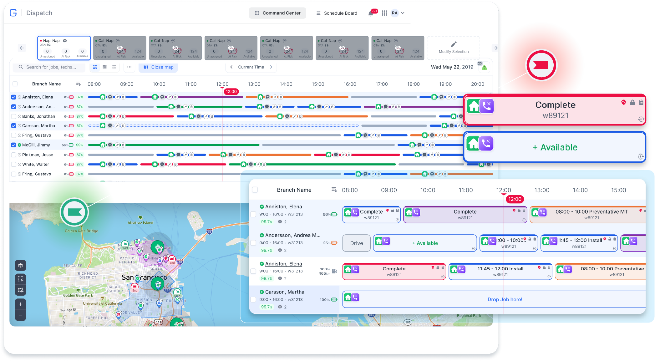
Yes. Real-time vehicle visibility helps dispatchers identify the closest available snow plow or service truck, send crews to priority areas, and respond faster to changing road conditions, resident requests, or customer needs.
How does Geotab support winter fleet maintenance?
Geotab can help winter fleets monitor engine data, diagnostic trouble codes, odometer readings, engine hours, maintenance reminders, and vehicle health trends. This supports more proactive maintenance and helps reduce the risk of breakdowns during storms.
Can Geotab help reduce snow plow downtime?
Yes. By using vehicle diagnostics, maintenance alerts, inspection data, and usage reports, Geotab can help fleets identify potential issues earlier and schedule service before small problems become major downtime events.
How can GPS tracking improve driver safety during winter operations?
GPS tracking can help managers review speeding, harsh braking, harsh acceleration, seat belt use, collision events, and other safety-related trends. This information can support coaching, safer driving habits, and better accountability in winter conditions.
Can Geotab track plow blade activity?
Yes. With the right compatible hardware and setup, Geotab Public Works can help capture plow blade activity and include that information in winter operations reporting.
Can winter operations teams track road temperature or weather-related data?
Yes. Depending on the sensors and integrations used, Geotab solutions can help collect data such as air temperature and road temperature. This information can support better decisions around salting, anti-icing, and winter response planning.
Can GPS tracking help municipalities communicate with the public?
Yes. Geotab Citizen Insights can help public agencies provide service visibility for residents, such as showing snow plow or salt spreader activity. This can improve transparency and help residents better understand winter maintenance progress.
What types of winter operations vehicles can be tracked?
Geotab solutions can help track snow plows, salt trucks, sanding trucks, service vehicles, pickup trucks, municipal fleet vehicles, contractor vehicles, and other winter maintenance assets depending on the device, vehicle type, and installation setup.
What if I have more questions about winter operations GPS tracking?
If you have more questions about GPS tracking for winter operations fleets, contact us. GPS Tracking America can help you understand which Geotab devices, software features, and fleet management tools may be the best fit for your winter operation.