Truckload Carriers
Truckload carriers need clear visibility across tractors, trailers, drivers, routes, compliance, fuel use, and maintenance. GPS Tracking America helps truckload fleets use Geotab-integrated solutions to manage long-haul, regional, dry van, reefer, flatbed, tanker, and specialized freight operations from one connected platform. With tools such as MyGeotab, Geotab Drive, Geotab ELD, GO Focus AI dash cams, GO Anywhere asset tracking, and Geotab Navigation, carriers can make faster decisions, reduce operational waste, support safer driving, and keep freight moving.
Increase Revenue Per Mile With Better Fleet Data
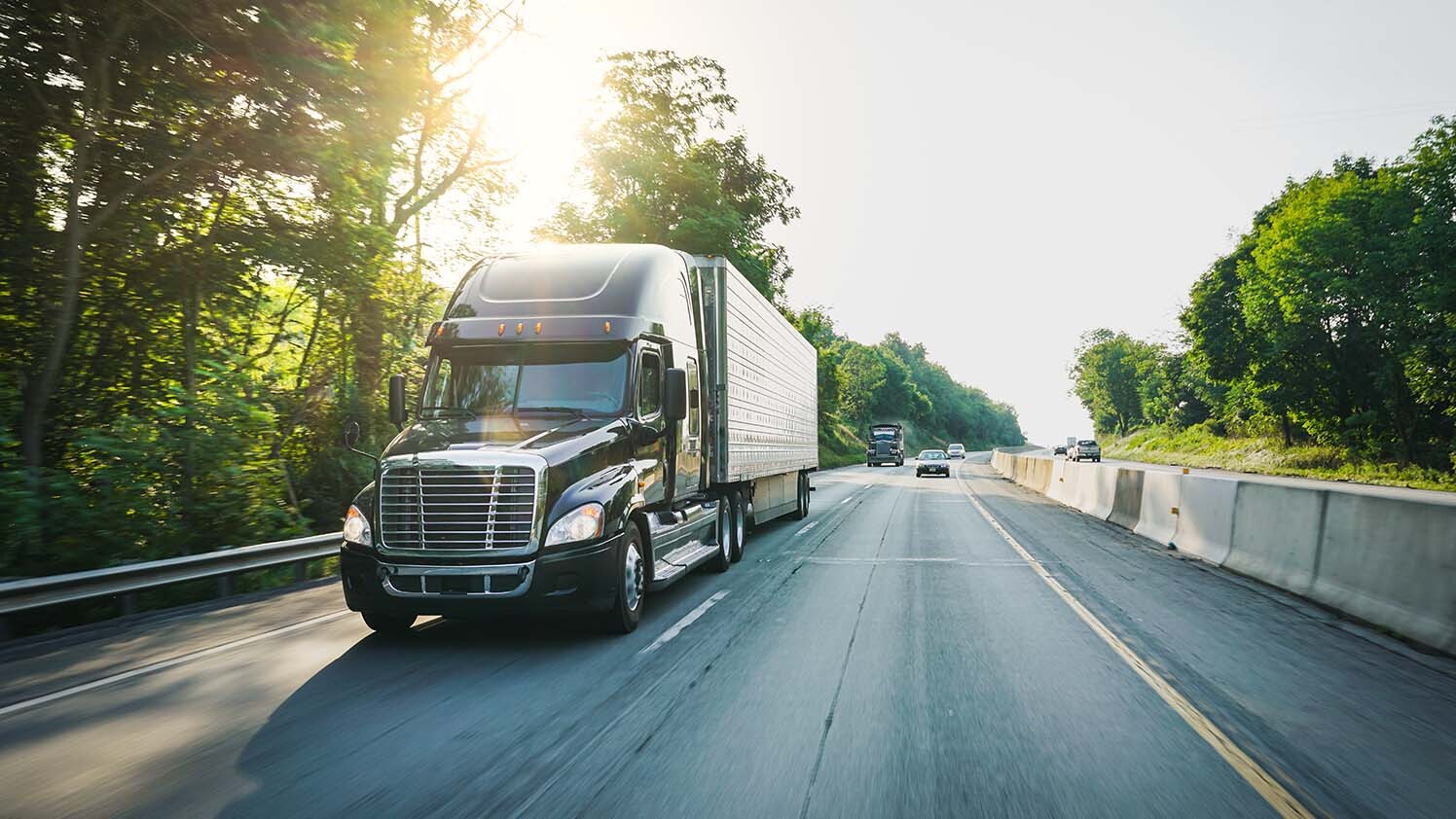
For truckload carriers, every mile needs to count. Geotab solutions help fleets monitor vehicle location, trip activity, fuel use, idling, driver behavior, and asset utilization so managers can see where time and money are being lost. Through MyGeotab, operations teams can use connected vehicle data to identify inefficient routes, reduce avoidable mileage, improve tractor and trailer usage, and make more informed decisions that support stronger revenue per mile.
Reduce Fuel Waste Across Long-Haul Operations
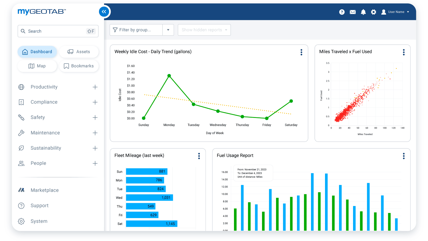
Fuel is one of the most important cost areas for truckload fleets. Geotab fuel management tools help carriers track fuel consumption, idling trends, route efficiency, and driving behaviors that may increase fuel use. Instead of relying only on receipts or manual reports, fleet managers can use telematics data to find patterns, coach drivers, reduce unnecessary engine run time, and support more fuel-efficient operations across long-distance routes.
Simplify ELD, HOS, DVIR, and IFTA Compliance
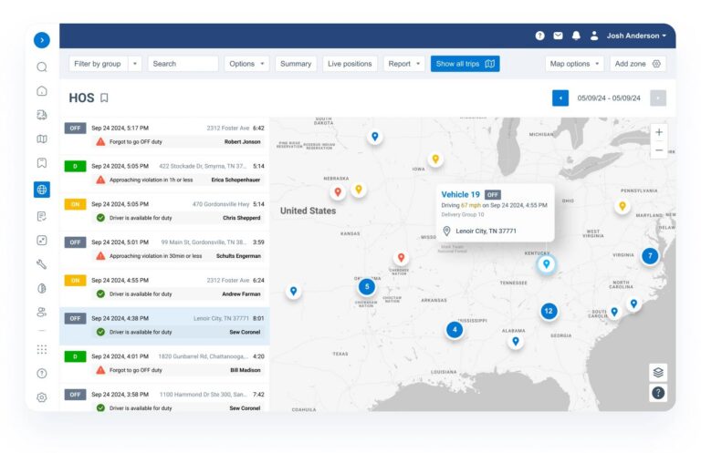
Truckload carriers have to manage compliance while keeping drivers and freight on schedule. Geotab ELD and Geotab Drive help fleets record Hours of Service, manage driver logs, track HOS status, support DVIR workflows, and simplify IFTA reporting. This gives dispatchers, drivers, and compliance teams better visibility into available hours, inspection activity, unassigned logs, and required reporting, helping reduce paperwork and support more accurate compliance management.
Improve Driver Safety With Telematics and AI Dash Cams
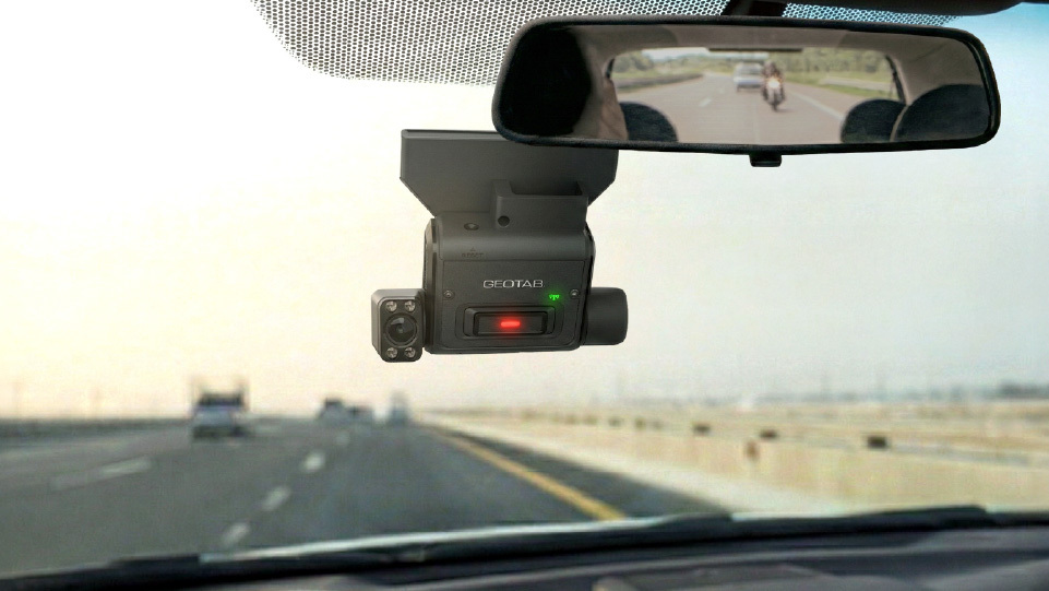
Safety is a major priority for truckload carriers because a single incident can affect drivers, freight, insurance costs, customer relationships, and fleet reputation. Geotab safety tools help monitor speeding, harsh braking, harsh cornering, collision events, and other risky driving patterns. For fleets that need video support, Geotab GO Focus AI dash cams can add event-based footage, driver coaching insights, and incident evidence directly within the Geotab ecosystem.
Keep Trucks on the Road With Proactive Maintenance
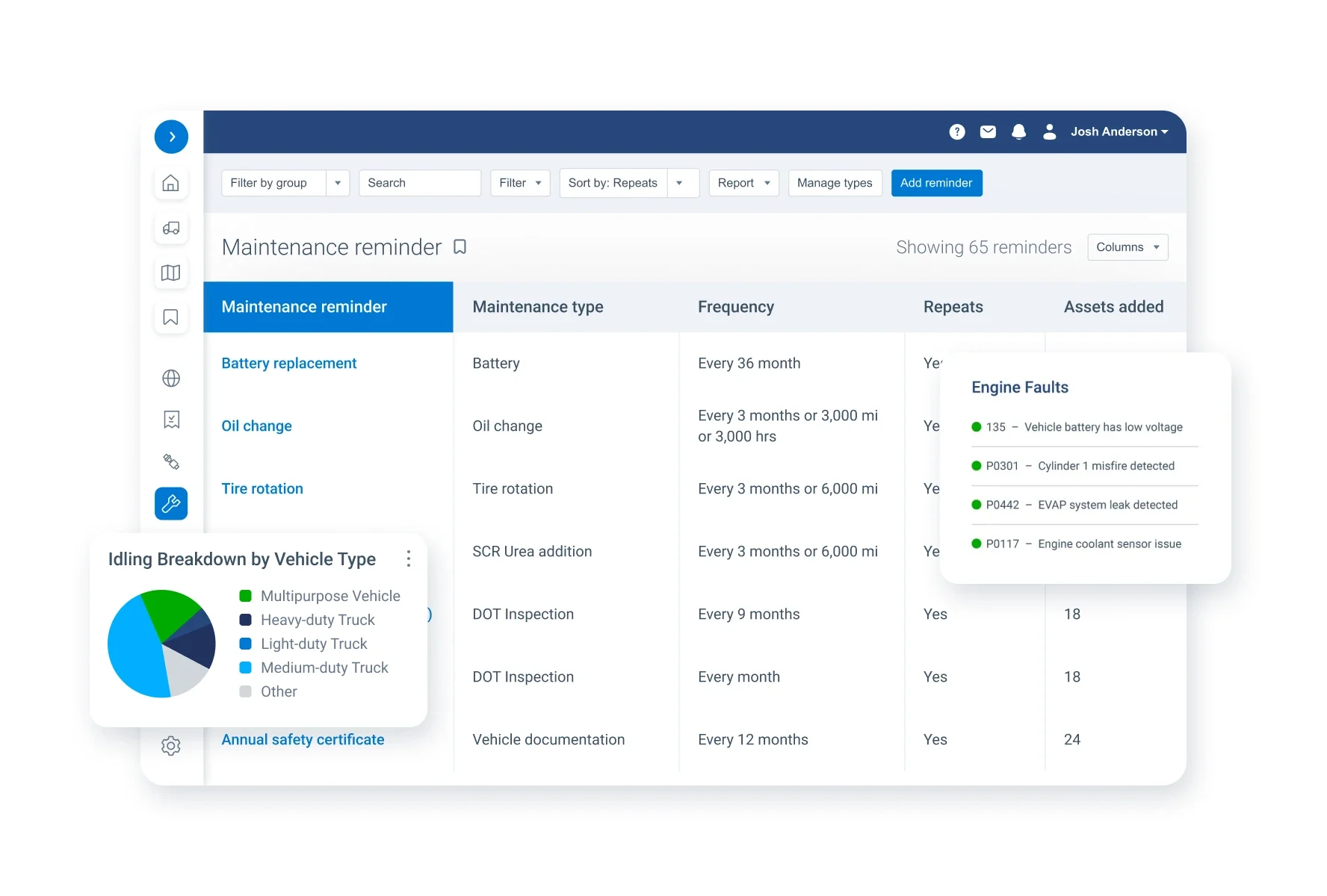
Unexpected breakdowns can create delivery delays, repair costs, driver downtime, and customer service problems. Geotab maintenance solutions help truckload fleets track engine diagnostics, maintenance schedules, faults, inspections, and work order activity through MyGeotab and partner integrations. By identifying issues earlier, carriers can plan service more effectively, reduce avoidable downtime, and keep tractors available for revenue-generating work.
Track Trailers, Reefers, Containers, and High-Value Assets
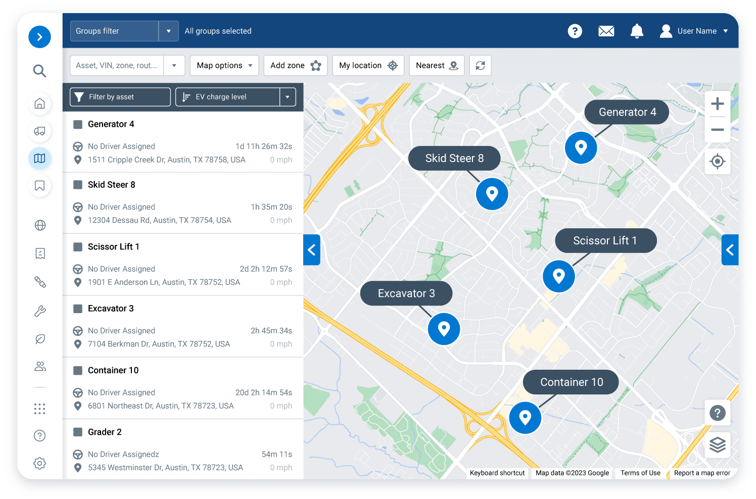
Truckload operations depend on more than just tractors. Trailers, reefers, containers, and other mobile assets may be moving, staged at customer yards, sitting at terminals, or waiting at drop lots. Geotab GO Anywhere Plus asset tracking helps carriers improve visibility into these assets, reduce time spent searching for equipment, support utilization decisions, and recover assets faster when they go missing. This is especially useful for fleets managing large trailer pools or distributed freight networks.
Support Dispatching With Truck-Aware Routing
Truckload routes must account for more than distance. Drivers may need to consider truck height, weight, axle configuration, cargo restrictions, road limitations, customer windows, and delivery requirements. Geotab Navigation and routing tools can help align planned routes with the roads drivers actually take. This helps dispatchers reduce routing errors, improve route consistency, and give drivers navigation support built for commercial trucking.
Build a Smarter Truckload Fleet With GPS Tracking America
GPS Tracking America helps truckload carriers choose and implement Geotab-integrated GPS tracking solutions that fit their fleet size, freight type, compliance needs, and operational goals. Whether your priority is reducing fuel waste, improving safety, tracking trailers, simplifying ELD compliance, managing maintenance, or gaining better visibility across your fleet, our team can help you build a connected solution that supports your business. Contact us today to learn how Geotab solutions can help your truckload operation run with more control, clarity, and confidence.
What is GPS tracking for truckload carriers?
GPS tracking for truckload carriers uses connected vehicle devices, fleet management software, and asset tracking tools to monitor tractors, trailers, drivers, routes, fuel use, compliance, safety, and maintenance from one platform.
How can GPS Tracking America help truckload carriers?
GPS Tracking America provides Geotab-integrated solutions that help truckload carriers improve fleet visibility, manage drivers, track trailers, support ELD compliance, reduce fuel waste, monitor safety, and make better operational decisions.
Why do truckload carriers need GPS tracking?
Truckload carriers need GPS tracking because tractors, trailers, freight, and drivers are often moving across long distances. GPS tracking helps managers know where vehicles are, how routes are progressing, and where delays or inefficiencies may be happening.
Can Geotab help truckload carriers improve revenue per mile?
Yes. Geotab solutions can help truckload carriers improve revenue per mile by providing data on vehicle usage, idle time, route efficiency, driver activity, fuel use, and asset utilization.
What Geotab products are useful for truckload fleets?
Truckload fleets can use solutions such as the Geotab GO device, MyGeotab, Geotab Drive, Geotab ELD, GO Focus AI dash cams, GO Anywhere asset tracking, Geotab Navigation, DVIR tools, IFTA reporting, and Marketplace integrations.
Can Geotab help with ELD compliance?
Yes. Geotab ELD and Geotab Drive can help truckload carriers manage Hours of Service, driver logs, duty status, unassigned driving, inspection reports, and compliance workflows.
How does GPS tracking help reduce fuel costs?
GPS tracking helps reduce fuel costs by showing fuel use, idle time, route history, speeding, harsh driving, and other behaviors that may increase fuel consumption. Fleet managers can use this data to coach drivers and improve operating efficiency.
Can truckload carriers track trailers with Geotab?
Yes. Truckload carriers can use Geotab asset tracking solutions, such as GO Anywhere, to monitor trailers, containers, reefers, and other mobile assets depending on the asset type and tracking needs.
How does GPS tracking improve trailer utilization?
GPS tracking improves trailer utilization by helping fleets see where trailers are located, how long they have been sitting, whether they are being used efficiently, and where available equipment may be found.
Can Geotab help reduce detention time?
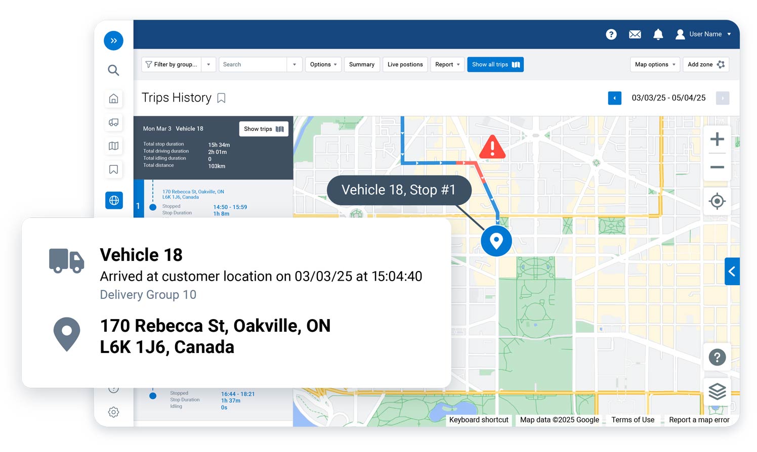
Geotab solutions can help truckload carriers monitor arrival times, departure times, stop duration, and vehicle activity at customer locations. This information can support better detention tracking, planning, and customer conversations.
How can truckload carriers improve driver safety with Geotab?
Truckload carriers can use Geotab safety tools to monitor speeding, harsh braking, harsh cornering, seat belt usage, collision events, and other driving behaviors. Fleets can also use AI dash cams for added visibility and driver coaching.
What is MyGeotab?
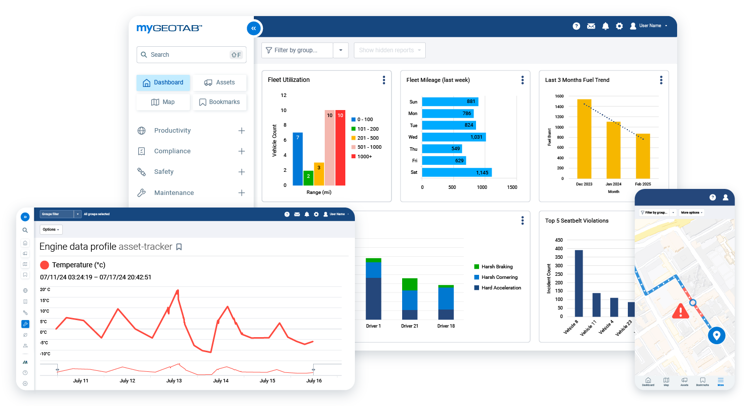
MyGeotab is Geotab’s fleet management platform. It allows fleet managers to view vehicle location, driver activity, trip history, reports, maintenance data, compliance information, safety insights, and other fleet performance details.
Can Geotab help with preventive maintenance?
Yes. Geotab can help truckload fleets manage preventive maintenance by tracking engine diagnostics, fault codes, mileage, service schedules, inspections, and maintenance reminders.
How does GPS tracking help reduce downtime?
GPS tracking and telematics help reduce downtime by identifying maintenance issues earlier, supporting planned service, monitoring vehicle health, and helping managers respond quickly when a truck has a problem on the road.
Can Geotab help with IFTA reporting?
Yes. Geotab solutions can help simplify IFTA reporting by collecting trip, mileage, and location data that can support more accurate fuel tax reporting.
How does Geotab support truckload dispatching?
Geotab helps dispatchers view vehicle location, route progress, driver availability, stop activity, and trip history. This makes it easier to manage schedules, respond to delays, and assign work more effectively.
Can Geotab help with truck-specific routing?
Yes. Geotab Navigation can support commercial vehicle routing by helping drivers follow routes that consider truck-related restrictions and operational requirements.
Is Geotab useful for long-haul truckload fleets?
Yes. Geotab is useful for long-haul truckload fleets because it helps managers monitor vehicles, drivers, routes, compliance, fuel use, safety, and maintenance across large service areas.
Can Geotab connect with other fleet systems?
Yes. Geotab has an open platform and Marketplace that allow fleets to connect telematics data with other business tools, including maintenance, dispatch, safety, compliance, fuel, and reporting systems.
How can I get started with GPS tracking for my truckload fleet?
To get started, contact GPS Tracking America. Our team can help you choose the right Geotab-integrated solution for your truckload fleet, including vehicle tracking, trailer tracking, ELD compliance, safety tools, maintenance management, and reporting.