MyGeotab SDK and APIs
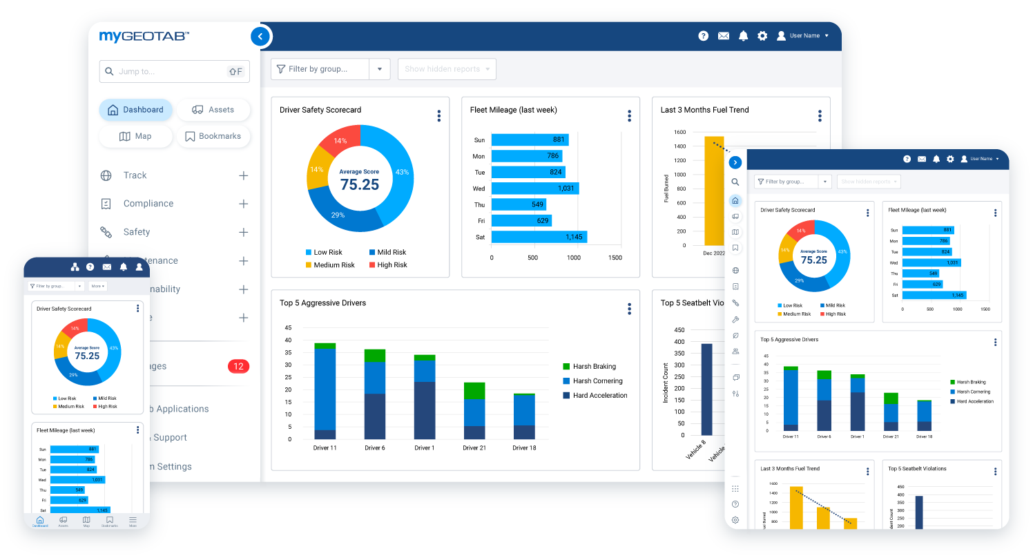
The MyGeotab SDK and APIs provide authorized access to fleet information stored in the MyGeotab cloud platform. Organizations can use these development tools to integrate MyGeotab with business applications, automate repetitive processes, synchronize supported records, and create custom user experiences. Depending on the available data, permissions, and service configuration, integrations can work with information such as vehicles, drivers, trips, GPS positions, engine measurements, diagnostic faults, zones, rules, and exception events. The APIs apply the authenticated user’s security permissions and data-access scope, helping organizations control which information an integration can access.

Integrate MyGeotab With Your Business Systems
MyGeotab APIs can connect supported fleet data with maintenance platforms, enterprise resource planning systems, customer relationship management software, payroll tools, business intelligence platforms, and other applications. These connections can reduce isolated data silos and give different departments access to more consistent operational information. Because the MyGeotab API uses HTTPS and JSON-RPC, developers can build integrations using any programming language capable of making standard HTTP requests

Automate Fleet Data and Administrative Workflows
The MyGeotab SDK can help automate recurring processes that would otherwise require manual data entry, exports, or system updates. Subject to API permissions and supported methods, an integration can retrieve records, synchronize changes, add or update supported objects, and transfer information between MyGeotab and other authorized systems. Geotab’s GetFeed method also supports incremental data synchronization by returning records that have changed since the integration’s previous request. When properly designed, this approach can improve efficiency, reduce duplicate work, and keep downstream systems more current.
Build Custom Tools Inside the MyGeotab Interface
Developers can create MyGeotab Add-Ins using JavaScript, HTML, and CSS to place custom pages, buttons, workflows, and third-party functionality directly inside the platform. An Add-In can combine authorized MyGeotab data with an organization’s own APIs, allowing users to complete more tasks through a familiar interface instead of switching repeatedly between separate applications. Geotab also provides API clients, code samples, reference documentation, and development resources to support custom applications and integrations.

Create a More Connected Fleet Management Environment
MyGeotab SDK and API integrations can help your organization adapt its fleet technology to established processes, reporting requirements, and business systems. The final capabilities depend on the selected data sources, user permissions, service plan, third-party software, and quality of the integration design. GPS Tracking America can help you evaluate your fleet-management requirements and determine how Geotab’s open platform may support them. Contact us to discuss MyGeotab, compatible Geotab solutions, and your integration goals.
What is the MyGeotab SDK?
The MyGeotab Software Development Kit, or SDK, is a collection of APIs, code samples, libraries, documentation, and development tools for working with MyGeotab. It enables developers to build custom applications, automate processes, create Add-Ins, and connect authorized fleet data with other business systems.
What is a MyGeotab API?
A MyGeotab Application Programming Interface, or API, allows an authorized software application to communicate with the MyGeotab cloud platform. Applications can use supported API methods to retrieve, add, update, synchronize, or remove certain information, subject to permissions and system rules.
What is the difference between the MyGeotab SDK and APIs?
The APIs provide the communication methods used to work with MyGeotab data and functionality. The SDK is the broader development toolkit that includes those APIs along with client libraries, sample code, guides, and reference materials.
What fleet data can be accessed through MyGeotab APIs?
Depending on the database, service plan, hardware, user permissions, and available records, the APIs can provide access to vehicles, drivers, trips, GPS positions, zones, rules, exception events, engine measurements, diagnostic faults, fuel information, maintenance data, and other supported objects.
Do MyGeotab APIs connect directly to a Geotab GO device?
No. The MyGeotab APIs communicate with data stored or processed through the MyGeotab cloud platform rather than connecting directly to a GO device. Available information therefore depends on what the hardware and connected systems have reported to MyGeotab.
What types of software can be integrated with MyGeotab?
MyGeotab can potentially be integrated with maintenance systems, payroll tools, business intelligence platforms, enterprise resource planning software, customer relationship management systems, dispatch applications, fuel-management platforms, and other compatible business software.
Can MyGeotab APIs automate fleet-management tasks?
Yes. Developers can use the APIs to automate supported tasks such as importing records, synchronizing information, updating selected objects, retrieving vehicle data, or transferring information into another authorized system. The exact automation possibilities depend on available API methods and user permissions.
Can MyGeotab data be exported automatically?
Yes. A properly designed integration can retrieve supported MyGeotab data and transfer it to an external database, reporting platform, or business application. Automated exports can reduce repeated manual downloads and help maintain more consistent records across systems.
Can MyGeotab APIs support custom fleet reports?
Yes. Developers can retrieve authorized data from MyGeotab and use it to create reports tailored to specific operational or management requirements. Report accuracy and completeness depend on the source data, API design, filters, permissions, and connected vehicle capabilities.
What is a MyGeotab Add-In?
A MyGeotab Add-In is a custom page, button, workflow, or interface component built with web technologies such as JavaScript, HTML, and CSS. Add-Ins appear within the MyGeotab interface, allowing users to access custom functionality without continually switching to another application.
Can an Add-In combine MyGeotab data with another API?
Yes. A properly developed Add-In can combine authorized MyGeotab information with data or functionality from an organization’s own API or a compatible third-party service. This can place related fleet and business information within a more unified workflow.
Which programming languages can developers use with MyGeotab APIs?
MyGeotab APIs use HTTPS and JSON-RPC, so developers can work with them using programming languages that support standard HTTP requests and JSON. Geotab also provides resources and clients for development environments such as JavaScript, Python, .NET, and PHP.
How are MyGeotab API users authenticated?
An integration authenticates with authorized MyGeotab credentials and receives credentials that can be used for subsequent API requests. Geotab recommends securely retaining and reusing the authenticated session instead of authenticating again before every request.
Do MyGeotab APIs follow existing user permissions?
Yes. API results reflect the security clearances and data-access groups assigned to the authenticated MyGeotab user. An integration may receive limited, partial, or empty results when its account does not have permission to access the requested information.
Can access to fleet data be limited for an integration?
Yes. Organizations can use a dedicated API account and assign only the permissions and data scope required for the integration. This supports the principle of least privilege and can help prevent unnecessary access to sensitive fleet information.
Does the MyGeotab API provide real-time fleet data?
The API can provide access to recently available information in the MyGeotab platform, but it does not guarantee instantaneous data from a vehicle. Availability and timing can be affected by device reporting, cellular coverage, processing, service configuration, hardware compatibility, and the integration’s request schedule.
What is the MyGeotab GetFeed method?
GetFeed is an API method designed to synchronize supported changes from MyGeotab efficiently. It uses a version token so an integration can request records that have changed since its previous successful request instead of repeatedly downloading the entire dataset.
Are there rate limits on MyGeotab API requests?
Yes. MyGeotab applies rate limits to help maintain platform stability and fair usage. Limits can vary by API method or object, so developers should follow the current documentation, reuse sessions, request only necessary information, and handle limit responses appropriately.
Are the MyGeotab SDK and API development resources free?
Geotab provides its API and SDK tools, documentation, code samples, and certain client libraries for developers to use. However, MyGeotab access, compatible hardware, service plans, third-party software, custom development, hosting, maintenance, and professional integration services may involve separate costs.
How can GPS Tracking America help with MyGeotab SDK and API solutions?
GPS Tracking America can help organizations evaluate their fleet requirements, understand available Geotab capabilities, and identify suitable hardware and service options. Contact us to discuss MyGeotab, potential integration goals, and the Geotab solutions that may support your operation.