Mining
Mining operations depend on vehicles, heavy equipment, workers, and assets moving safely across remote and demanding job sites. GPS Tracking America provides Geotab-integrated mining fleet management solutions that help businesses monitor equipment location, improve safety, reduce idle time, manage maintenance, and bring on-road and off-road fleet data into one connected platform. Geotab’s mining solutions are designed to support fleet safety, efficiency, sustainability, and performance for mining environments where visibility and uptime matter.
Improve Visibility Across Remote Mining Sites
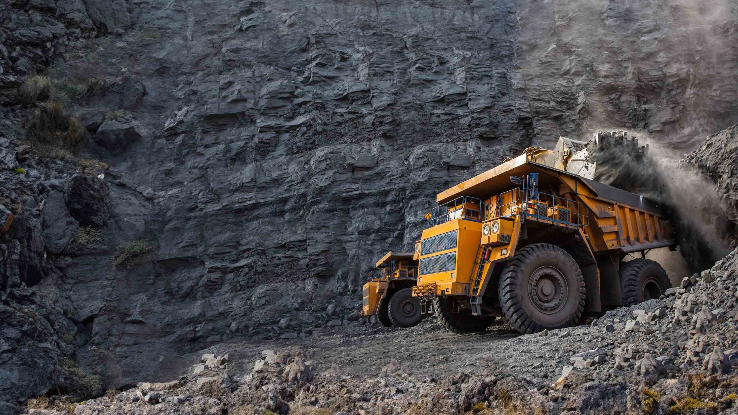
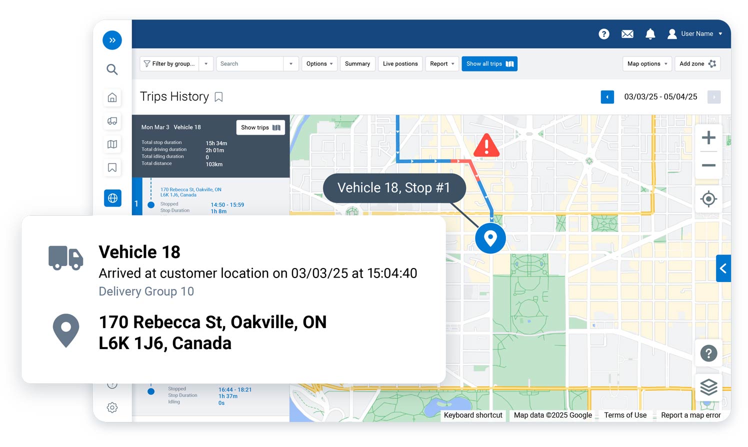
Mining fleets often operate across wide, remote, and high-risk locations where it can be difficult to know where every vehicle, machine, and asset is at any given time. With Geotab solutions, mining companies can monitor vehicles and equipment in near real time, review trip history, and access location data that supports faster decisions in daily operations and emergency situations.
Use Rugged Hardware Built for Harsh Conditions
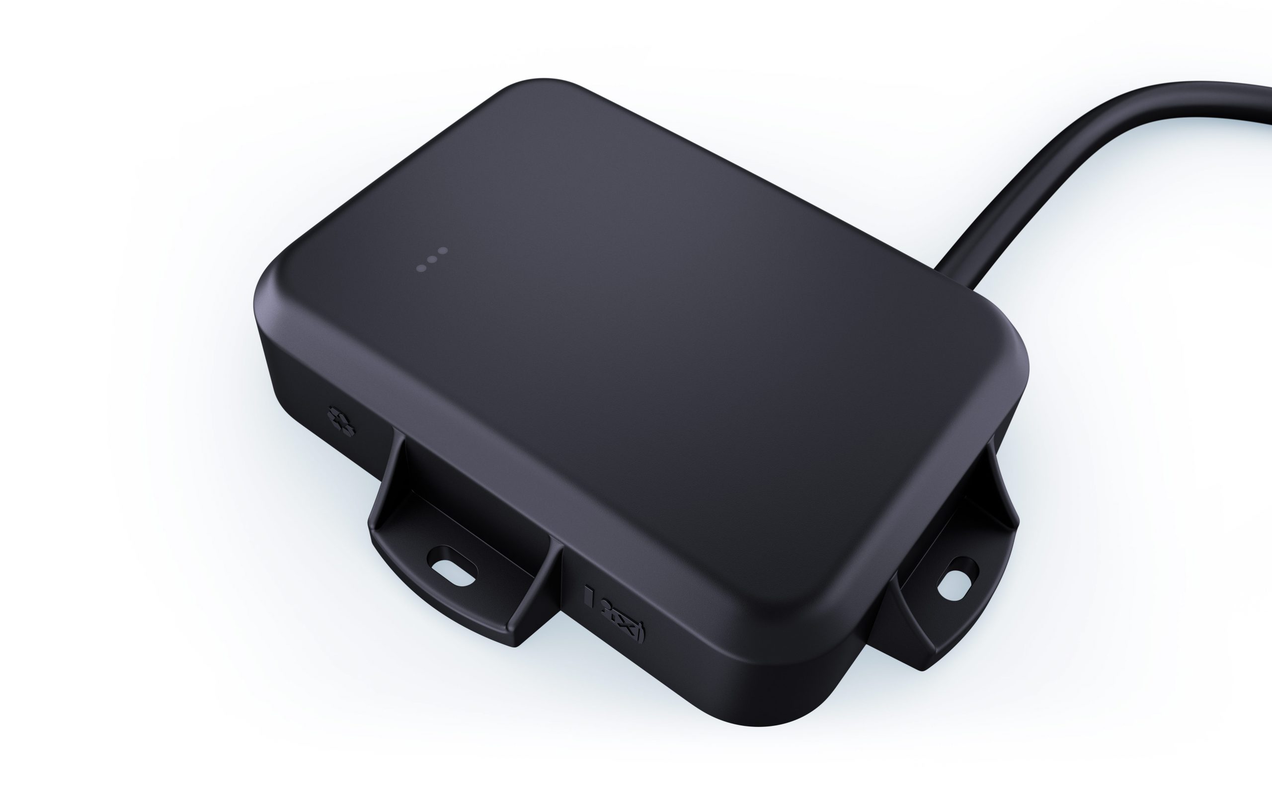
Mining environments can expose tracking hardware to dust, moisture, vibration, pressure washing, extreme temperatures, and rough installation conditions. The Geotab GO9 RUGGED is built for demanding worksites, with IP68 and IP69K ratings, real-time equipment tracking, over-the-air firmware updates, accident detection and notification, and an operating temperature range of -40°C to 85°C.
Connect Mixed Equipment Data with AEMP 2.0 Integration
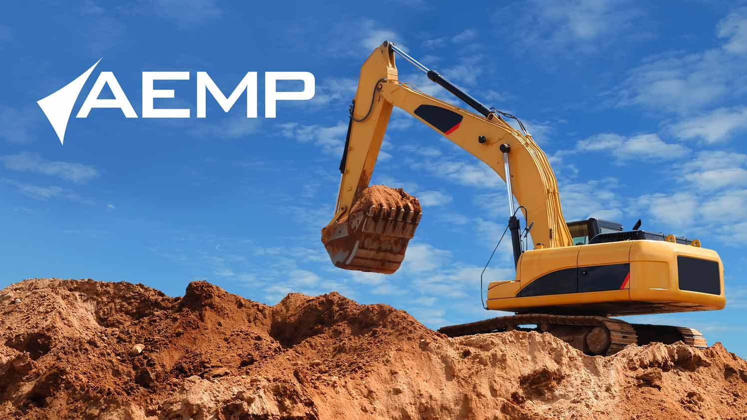
Many mining fleets use a mix of equipment brands and systems. Geotab’s AEMP 2.0 integration can bring equipment data from manufacturers such as Caterpillar, John Deere, and Komatsu into the Geotab platform, helping managers view on-road and off-road assets together instead of switching between separate systems.
Support Safer Mining Operations
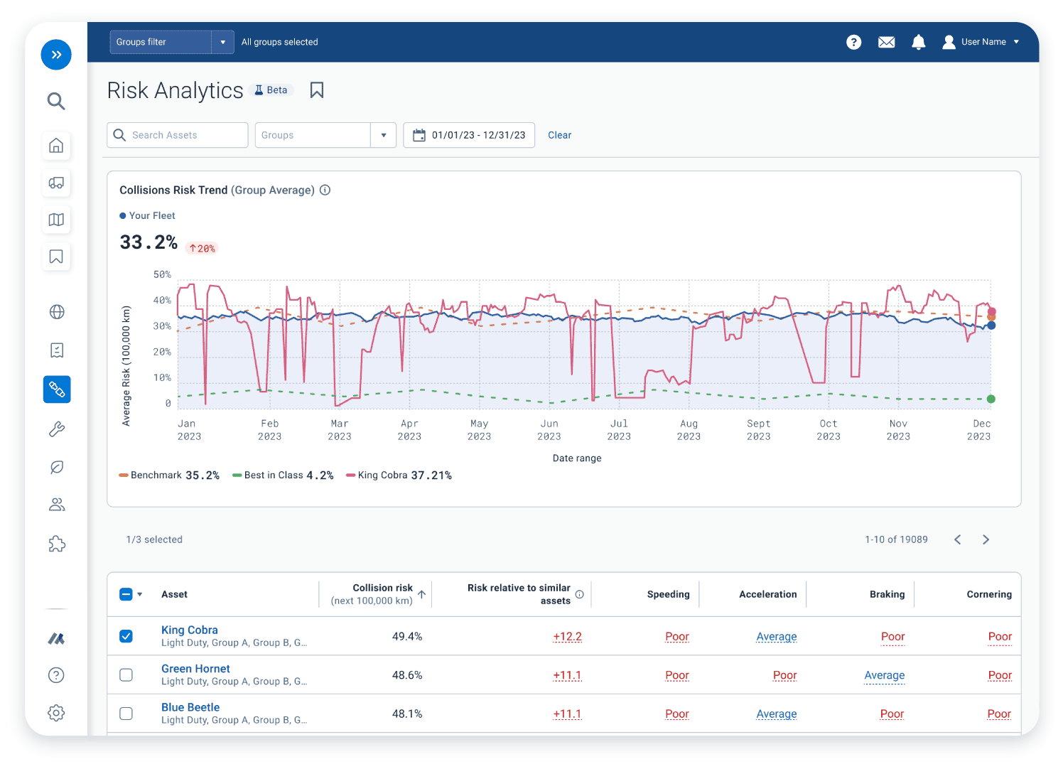
Safety is one of the biggest priorities in mining. Geotab solutions can help monitor driver behavior, identify risky driving patterns, support targeted coaching, provide collision detection and notification, and improve location visibility when emergency response is needed. These insights help mining businesses build a safer, more accountable fleet operation.
Control Fuel Use, Idling, and Emissions
Fuel consumption and idling can create unnecessary costs across mining vehicles and heavy equipment. Geotab helps mining fleets track fuel use, emissions, idle time, and equipment activity, making it easier to find waste, improve utilization, and support more sustainable operating practices.
Turn Mining Fleet Data Into Better Decisions
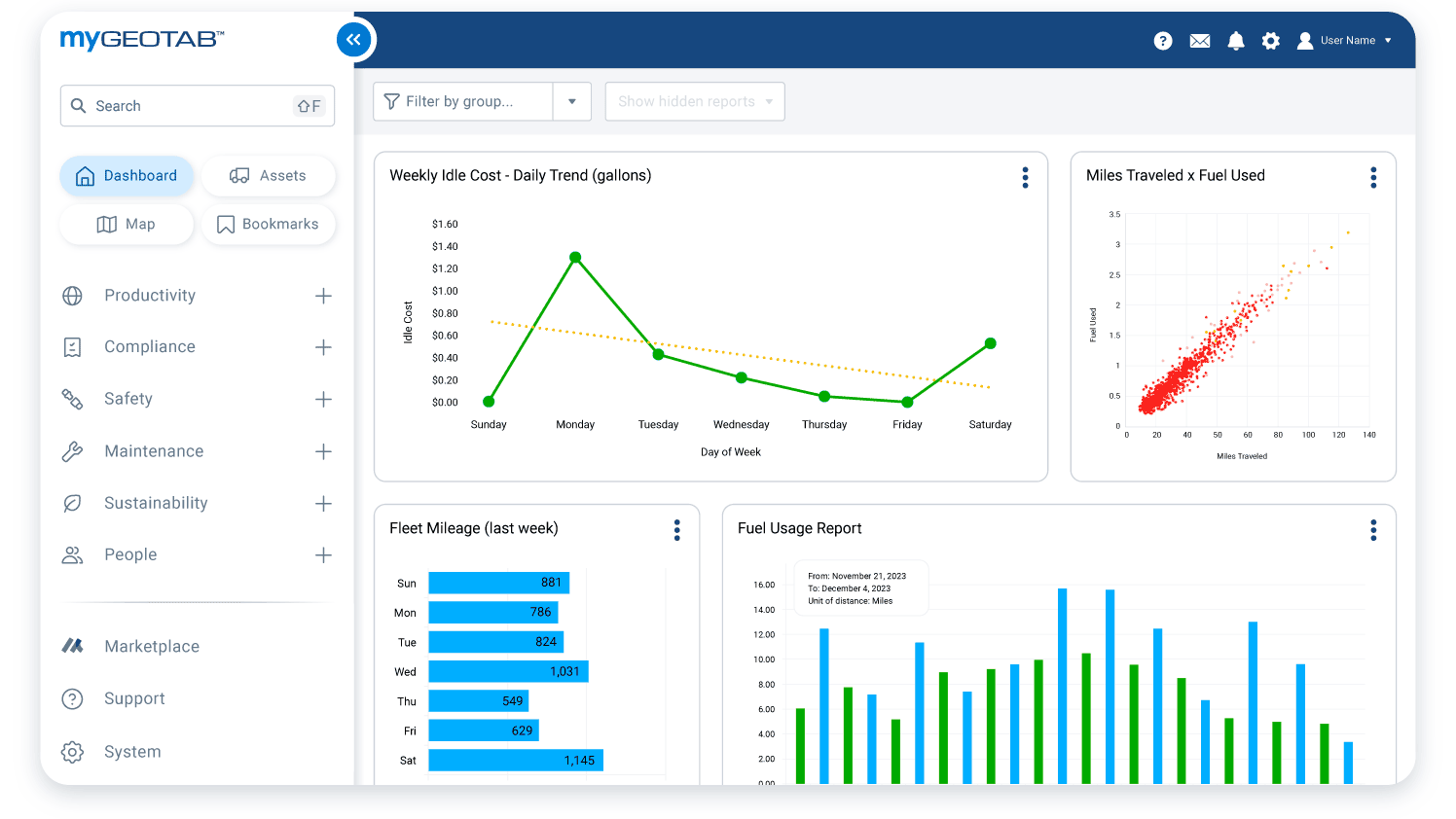
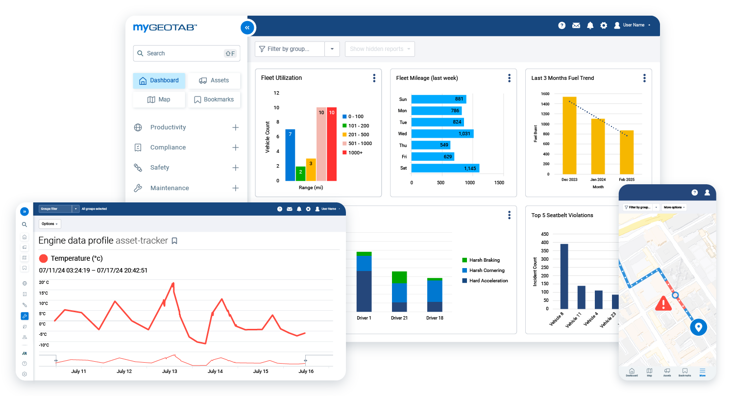
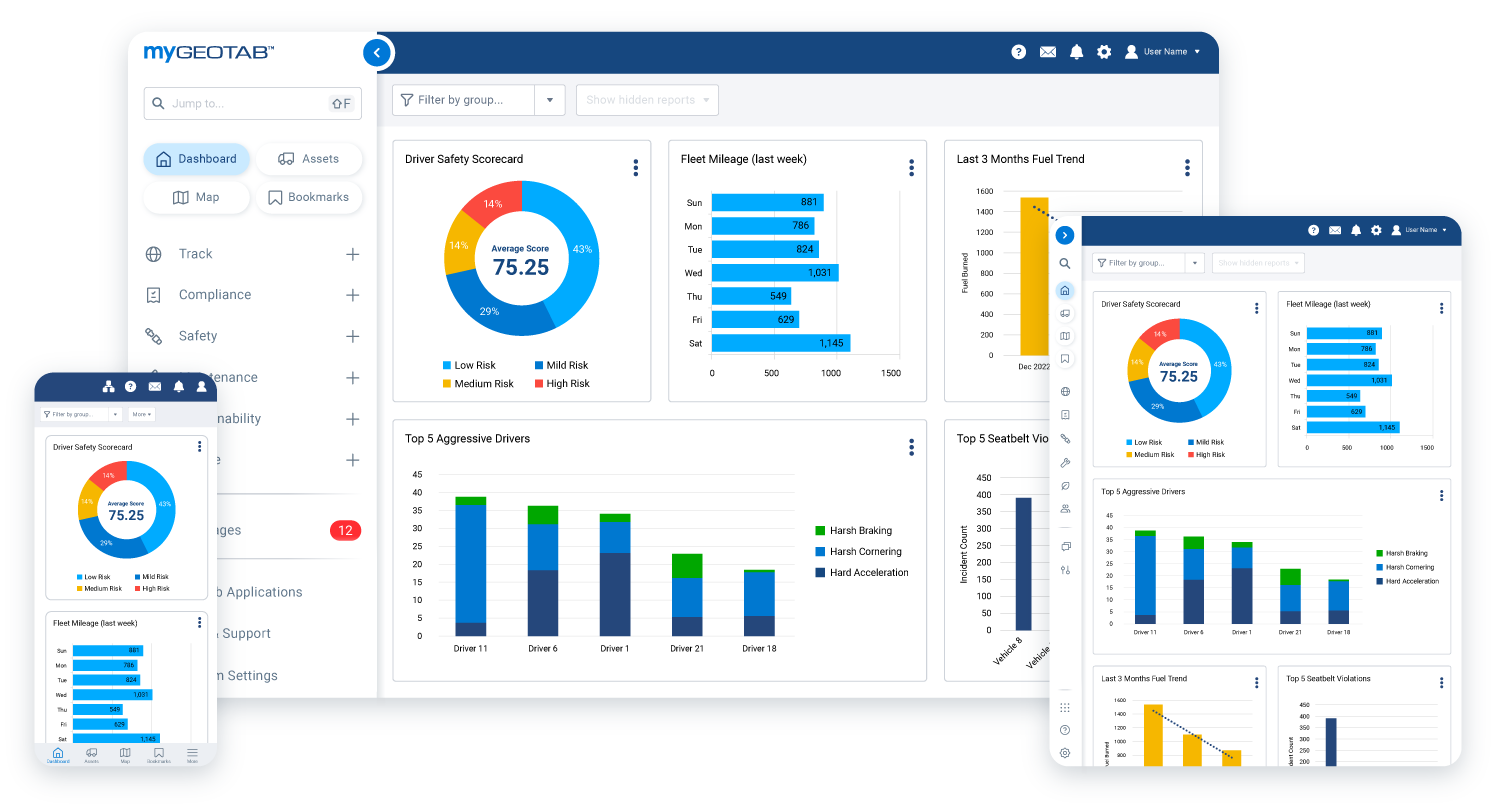
With MyGeotab reporting, mining fleet managers can review key information such as fuel consumption, driver behavior, asset activity, maintenance trends, and performance reports. Reports can be customized, scheduled, and displayed on dashboards, helping teams make data-driven decisions without relying on scattered spreadsheets or manual updates.
Monitor Operator Activity and Job-Site Performance
Mining companies can use Geotab data to better understand how vehicles, equipment, and operators are being used throughout the day. By reviewing activity, hours of use, location history, idle time, and driver behavior, managers can identify underused equipment, balance workloads, reduce unnecessary movement, and support fair performance evaluations across the site.
Build a More Connected Mining Fleet
GPS Tracking America helps mining businesses choose and implement Geotab solutions that fit their vehicles, equipment, assets, and job-site conditions. Whether you need rugged GPS tracking, asset monitoring, maintenance visibility, safety insights, or mixed-fleet data integration, our team can help you build a solution around your operation. Contact us today to learn how Geotab can support your mining fleet.
What is GPS tracking for mining fleets?
GPS tracking for mining fleets uses connected telematics devices and fleet management software to monitor vehicles, heavy equipment, workers, and assets across mining sites.
How can GPS Tracking America help mining companies?
GPS Tracking America provides Geotab-integrated solutions that help mining companies improve vehicle visibility, track equipment, monitor safety, reduce idle time, manage maintenance, and support better fleet decisions.
Why do mining fleets need GPS tracking?
Mining fleets need GPS tracking because vehicles and equipment often operate across large, remote, and demanding sites where real-time visibility is important for safety, productivity, and uptime.
Can Geotab track heavy equipment used in mining?
Yes. Geotab solutions can help track heavy equipment, off-road vehicles, support vehicles, and other mining assets, depending on the device, installation, and equipment type.
What Geotab device is useful for harsh mining environments?
The Geotab GO9 RUGGED is well suited for harsh mining environments because it is designed for demanding conditions and supports real-time tracking, accident detection, firmware updates, and rugged installations.
What is the Geotab GO9 RUGGED?
The GO9 RUGGED is a ruggedized telematics device built for vehicles and equipment exposed to tough conditions such as dust, moisture, vibration, pressure washing, and extreme temperatures.
Can Geotab help track mining assets that are not vehicles?
Yes. Geotab asset tracking solutions, such as GO Anywhere Asset Tracker, can help monitor trailers, containers, generators, powered equipment, and non-powered assets.
How does GPS tracking improve mining fleet safety?
GPS tracking improves mining fleet safety by helping managers monitor vehicle location, driver behavior, risky activity, collision events, and emergency response information.
Can Geotab help reduce mining equipment downtime?
Yes. Geotab can help reduce downtime by providing data on usage, engine activity, diagnostic issues, maintenance needs, and equipment performance.
How does GPS tracking help with preventive maintenance?
GPS tracking supports preventive maintenance by helping fleets monitor mileage, engine hours, diagnostic trouble codes, usage patterns, and maintenance schedules.
Can mining companies monitor idle time with Geotab?
Yes. Geotab can help mining companies monitor idle time across vehicles and equipment, making it easier to reduce fuel waste and improve operating efficiency.
How can telematics reduce fuel costs in mining operations?
Telematics can help reduce fuel costs by identifying excessive idling, inefficient equipment use, unnecessary travel, and fuel consumption trends across the fleet.
What is AEMP 2.0 integration?
AEMP 2.0 integration allows equipment data from supported manufacturers to be brought into the Geotab platform, helping fleets view mixed equipment data in one system.
Can Geotab support mixed fleets with different equipment brands?
Yes. Geotab can support mixed fleets by combining data from on-road vehicles, off-road equipment, asset trackers, and supported equipment integrations.
How does GPS tracking improve equipment utilization?
GPS tracking improves equipment utilization by showing which machines are active, underused, idle, parked, or moving between job-site areas.
Can Geotab help mining companies improve productivity?
Yes. Geotab helps mining companies improve productivity by providing better visibility into equipment activity, operator behavior, route patterns, delays, and asset usage.
Does GPS tracking help with asset recovery?
Yes. GPS tracking can help with asset recovery by showing the last known location, movement history, and current location of tracked vehicles or assets.
Can mining fleet managers use reports in MyGeotab?
Yes. MyGeotab provides reporting tools that can help managers review fleet performance, safety trends, fuel use, maintenance activity, and asset data.
Is GPS tracking useful for remote mining sites?
Yes. GPS tracking is especially useful for remote mining sites because it helps managers monitor vehicles, equipment, and assets when teams are spread across large or difficult-to-access areas.
What if I have more questions about GPS tracking for mining fleets?
If you have more questions about GPS tracking for mining fleets, contact us. GPS Tracking America can help you understand your options and choose a Geotab-integrated solution that fits your vehicles, heavy equipment, assets, safety needs, and operational goals.